Whoa there, AP! The generally well-regarded US newswire is putting out an extremely tendentious little “fact-box” today, on the situation in the Israeli-occupied Golan. Tendentious and, need I add, one-sided.
For example, here:
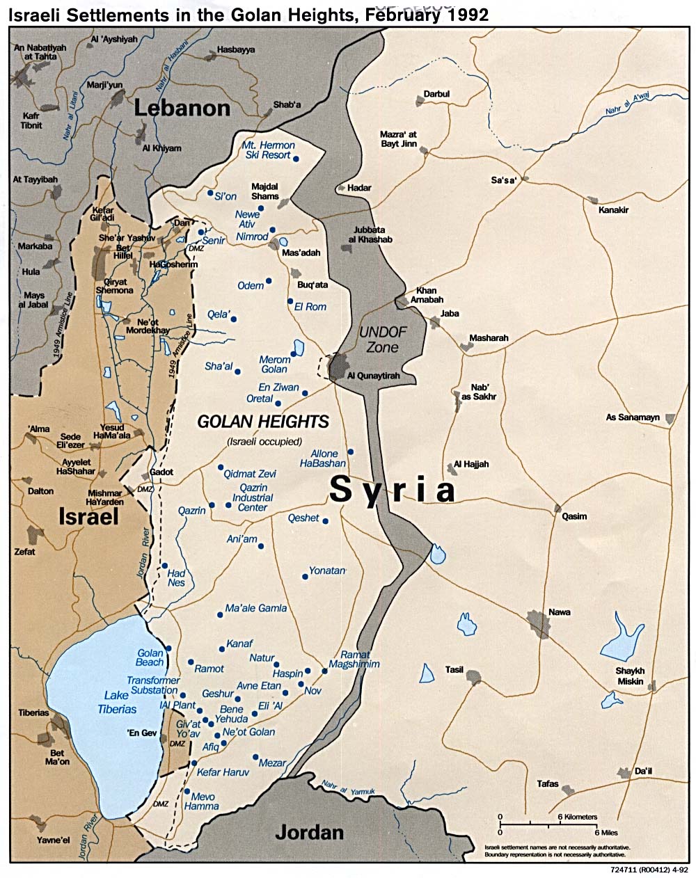
- • LOCATION: Plateau at southwestern corner of Syria overlooking Sea of Galilee and northern Israel.
Note to AP: The occupied Golan also overlooks a huge stretch of Syria, including the national capital, Damascus. And from the top of Jebel al-Sheikh, the area’s highest mountain– known by the Israelis as Mount Hermon– Israel’s military is also currently able to dominate a large chunk of Lebanon, too.
Guess it depends on whether we have an Israelo-centric view of the Middle East, or not?
Then, the AP has this:
- • HISTORY: Syrian soldiers shelled northern Israel from the Golan Heights between 1948 and 1967. Israel captured the territory in 1967 Mideast war. Israel annexed it in 1981, though no country recognized that.
The last two sentences there are correct. The rest of the graf is unbelievably one-sided. Yes, Syrian soldiers used Golan between 1948 to shell Israeli forces– but those forces were busy consolidating Israel’s military control over areas to the north of the Sea of Galilee that were supposed to have been completely demilitarized under the Armistice Agreement of 1949. UN records from the 1949-1967 period make clear there were infractions from both sides of the Israel-Syria Armistice Line– but more from the Israeli side than from the Syrian side.
Finally, the AP box gives us this:
- • DISPUTE: In 2000, Israel-Syria peace talks broke down. Israel offered to withdraw from all the Golan Heights down to the international border in exchange for full peace. Syria insisted on recovering land across the border that it captured in 1948, including the eastern shore of the Sea of Galilee.
This is simply not true. At Geneva, Ehud Barak notably did not agree to withdraw to the international border, which according to the maps drawn between Syria and Mandate Palestine ran either along the water-line along the northeast quadrant of the Sea of Galilee, (as in this recent BBC map or this CIA map), or in some versions through the Sea of Galilee roughly at the twelve o’clock and three o’clock lines. Anyway, in those days Syria had certain valuable rights as a littoral (coast-line) power on the SoG, including rights to fish, undertake water-borne transport on it, maintain small ports, etc.
In 1994, during the heart of the negotiations that Syria and Israel maintained from 1991 thru 1996, Israeli PM Rabin told the American mediators that in return for an array of other security measures, demilitarization, normalization of relations, economic links etc, he would be prepared to withdraw Israel’s forces to the international border; and in the negotiations that continued between then and the defeat of his successor, Shimon Peres, at the Israeli polls in spring 1996, that was the basis on which the negotiations continued. (In Israel, it became known as the “Rabin deposit.”) During marathon sessions at the Wye Plantation in Maryland in January 1996, the two sides came very close to concluding all the elements of a final peace agreement.
Peres’s success, Bibi Netanyahu, was not interested in proceeding with those talks. The talks resumed only some months after Ehud Barak was elected in 1999. But when he inveigled Bill Clinton into presenting his “final, final offer” to Syrian president Hafez al-Asad in May 2000, the extent of the promised Israeli withdrawal had mysteriously (or not) shrunk from the Rabin Deposit. Now, Barak insisted on Israel maintaining control off a strip some 100 or so metres wide around the whole of the SoG coast-line. Not surprisingly, Asad demurred. Less than a month later he had died of a heart attack…. and a few months after that, as we know, the Palestinians’ second intifada started, and then Barak lost at the polls to Ariel Sharon.
So, friends at AP: Please let’s not keep that very tendentious, and indeed inaccurate, listing of “facts” up on your newswire. The way you present this material matters. It matters both to the way you are viewed around the world– whether as fair-minded and accurate, or neither of those things. And it matters because your material affects the way many Americans (and perhaps other people elsewhere) think about these issues. If you want to make it look like the Syrians have always been wrong and the Israelis blameless, that matters.
By the way, since the Golan issue is now going to be discussed at Annapolis, people might want to take a look at this series of articles I published in Al-Hayat in 1998, on the human geography of the area.
Also, since I see that my 2000 book on the Israeli-Syrian negotiations of 1991-96 is now listed by the publisher, the US Institute of Peace, as out-of-print, you might want to get a used one from Amazon.
I think I’ll contact USIP and see if we can maybe have them put the final chapter of the book up on the web… (Note to certain carping commenters here: I have never had a royalty agreement with USIP for sales of this book, since they had helped fund some of the research for it. So when I mention the book here, it is certainly not from a desire to increase my earnings.)